Europe / City maps
Map of Germany with cities
Locate Berlin, Hamburg and Munich, then zoom into western Germany to see how Cologne, Düsseldorf and Duisburg line up along the Rhine. City index (58) · Map questions
GermanyCity map
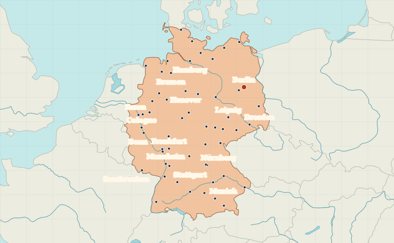
● Capital● City
Reading the map
The Rhine cities and the north German plain
Locate Berlin in the northeast and Hamburg farther northwest on the Elbe. In the west, Cologne, Düsseldorf and Duisburg follow the Rhine northward. Munich occupies the southeast, while Dresden sits on the Elbe near the Czech border.
| City | Direction | Straight-line distance |
|---|---|---|
| Hamburg | Northwest | 255 km / 158 mi |
| Munich | South | 505 km / 314 mi |
| Cologne | West | 478 km / 297 mi |
| Frankfurt | Southwest | 425 km / 264 mi |
Germany map questions
Which German cities can I follow along the Rhine?
Start at Cologne and follow the river north through Düsseldorf to Duisburg. Berlin lies well to the east of this Rhine corridor.
How far apart are Hamburg and Munich?
Munich is about 613 km (381 mi) south of Hamburg in a straight line between their map markers. Road distances depend on the route.
Cities on this map (58)
- Augsburg
- Berlin
- Bielefeld
- Bonn
- Braunschweig
- Bremen
- Bremerhaven
- Chemnitz
- Coburg
- Cologne
- Cottbus
- Dortmund
- Dresden
- Duisburg
- Düsseldorf
- Emden
- Erfurt
- Essen
- Flensburg
- Frankfurt
- Freiburg
- Fürth
- Gera
- Gießen
- Göttingen
- Hamburg
- Hanover
- Heidelberg
- Hof
- Ingolstadt
- Jena
- Karlsruhe
- Kassel
- Kiel
- Koblenz
- Leipzig
- Lübeck
- Magdeburg
- Mainz
- Mannheim
- Munich
- Münster
- Nürnberg
- Oldenburg
- Osnabrück
- Passau
- Potsdam
- Regensburg
- Rosenheim
- Rostock
- Saarbrücken
- Schwerin
- Stralsund
- Stuttgart
- Ulm
- Wiesbaden
- Wuppertal
- Würzburg
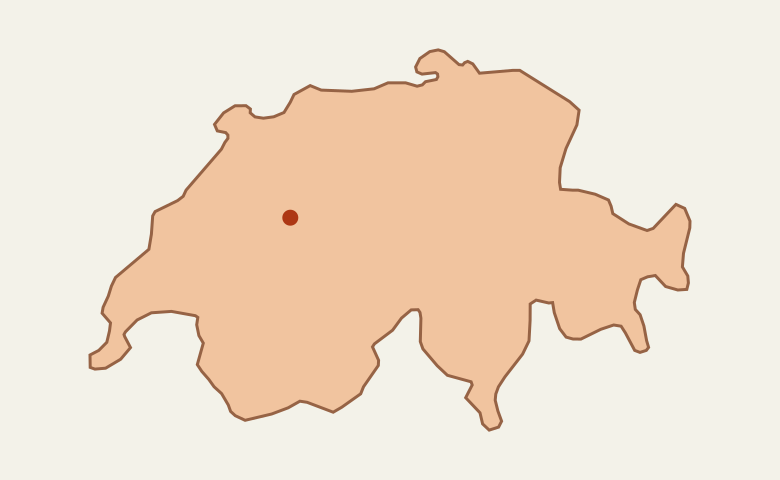
 Switzerland
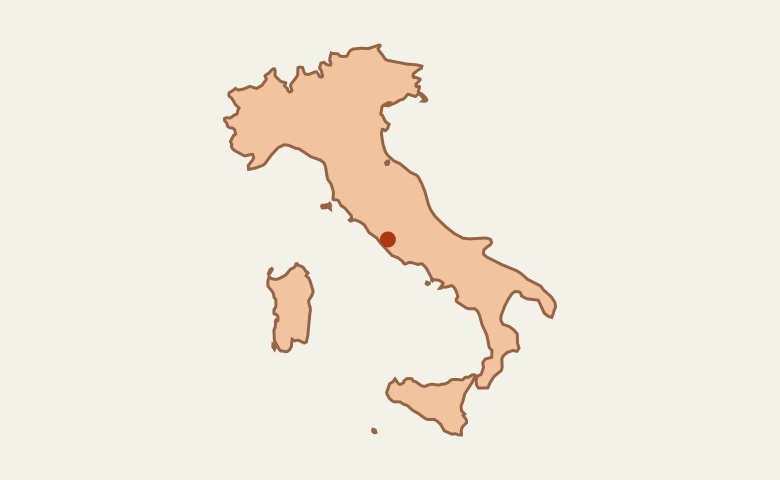
 Italy
 Ireland
 Spain