Countries & US states
Maps with cities.
Explore cities, capitals and coastlines. Find a place, choose which names to show and print your view.
Browse the maps ↓TexasUnited States
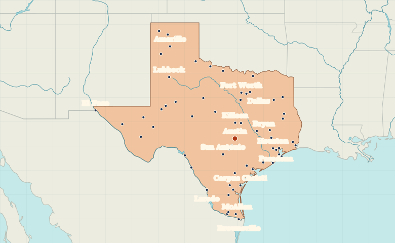
Explore the Texas map ↗
Map index
57 regional maps United States: maps of all 50 states
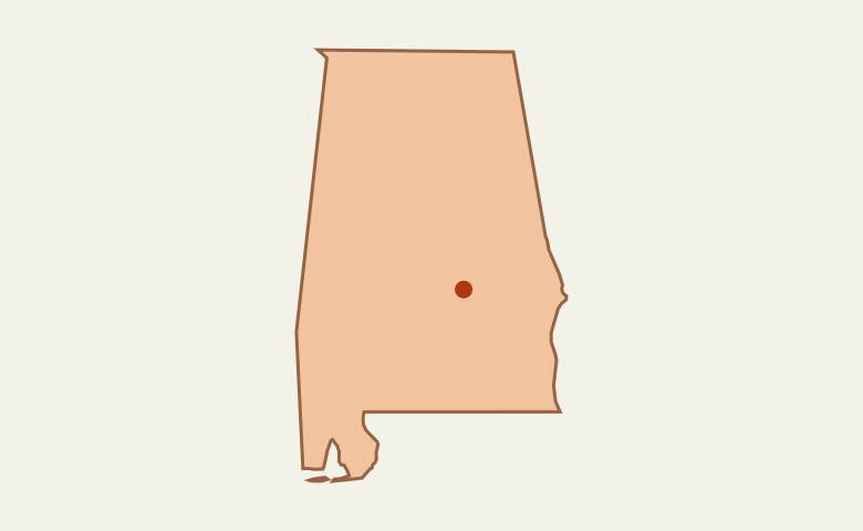 United StatesAlabama
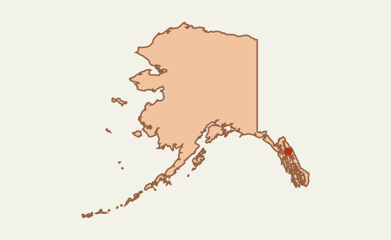 United StatesAlaska
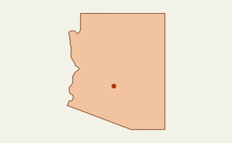 United StatesArizona
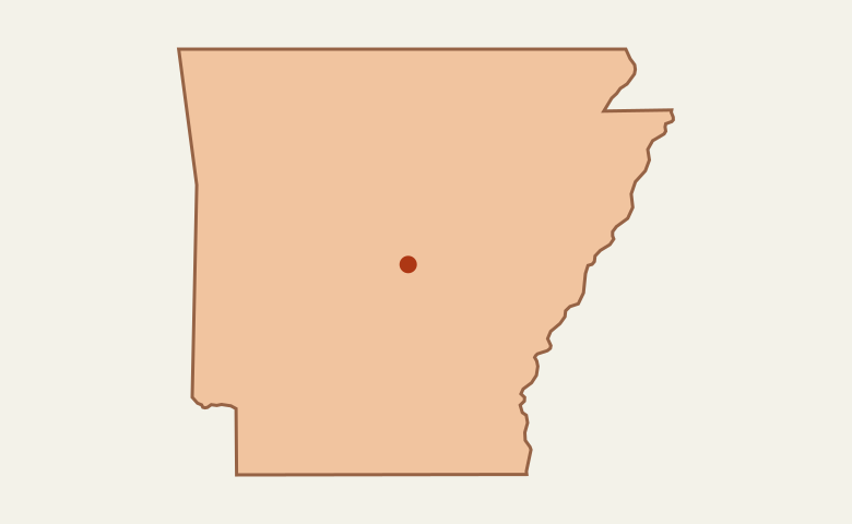 United StatesArkansas
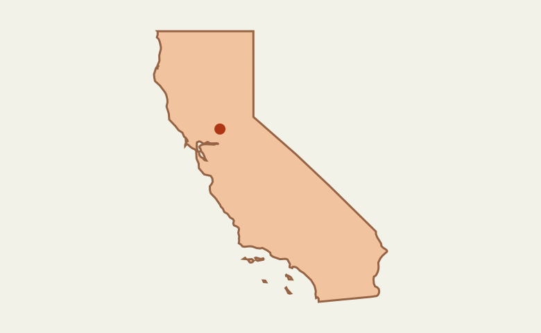 United StatesCalifornia
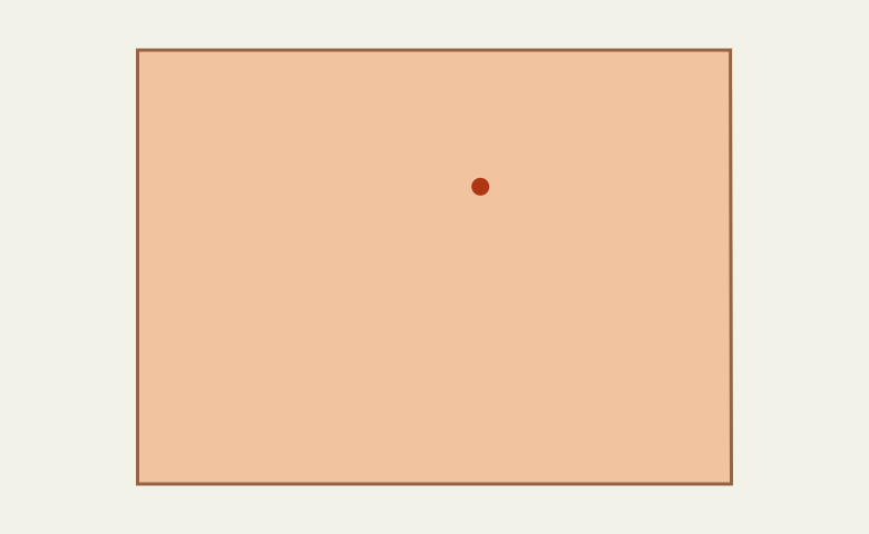 United StatesColorado
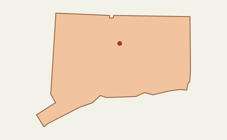 United StatesConnecticut
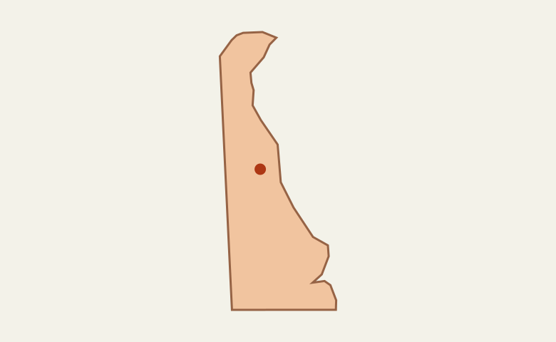 United StatesDelaware
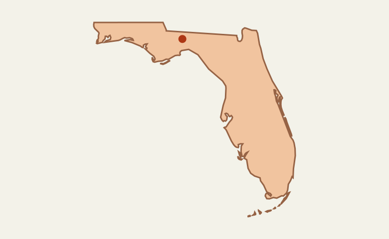 United StatesFlorida
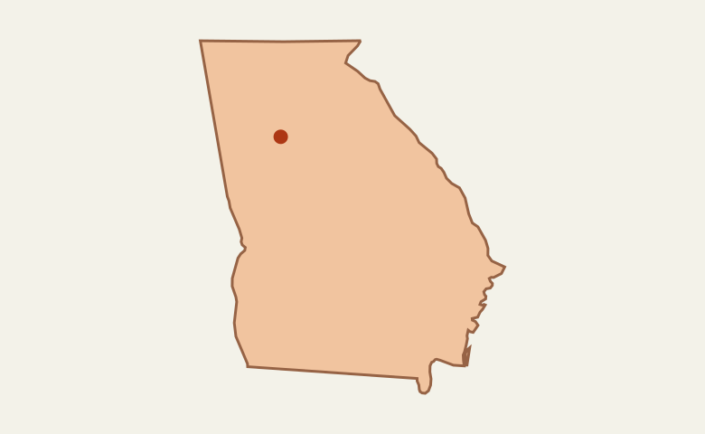 United StatesGeorgia
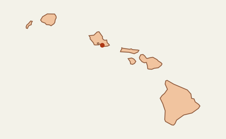 United StatesHawaii
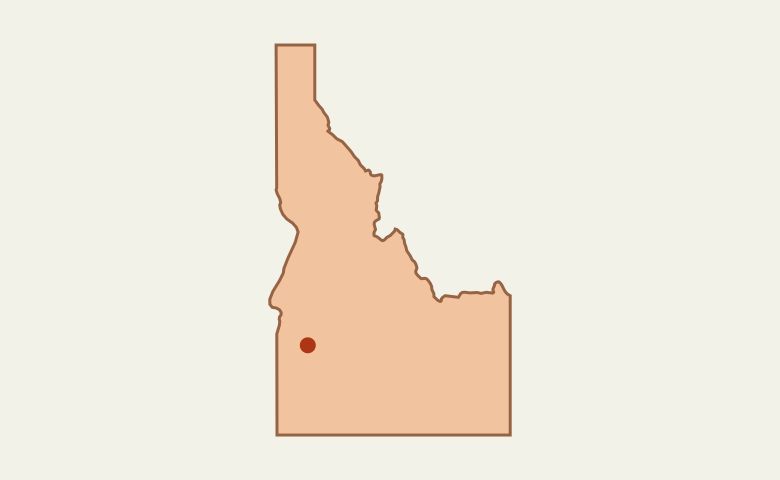 United StatesIdaho
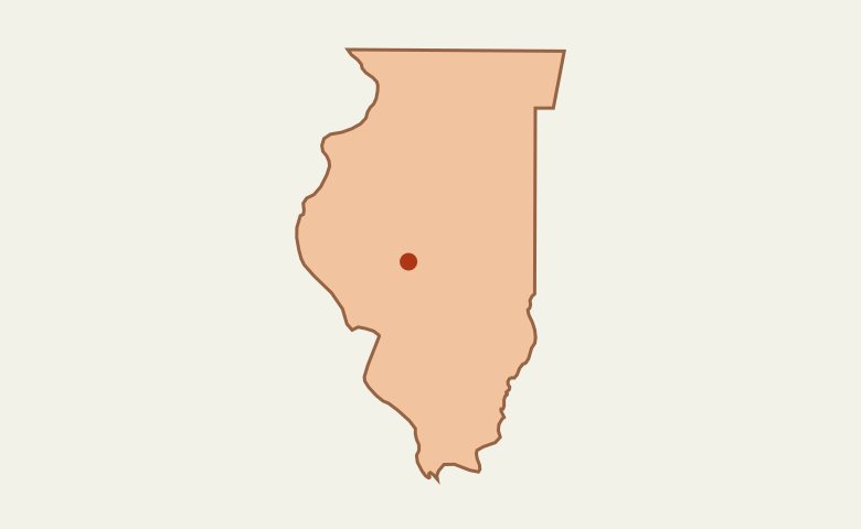 United StatesIllinois
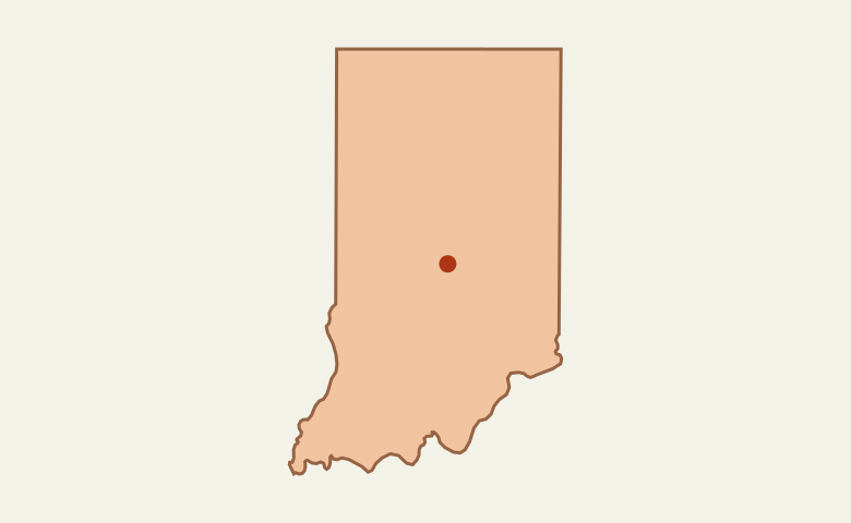 United StatesIndiana
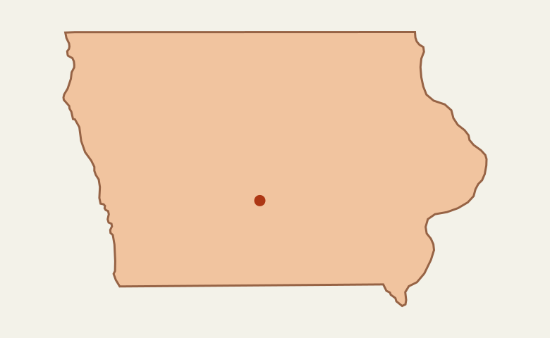 United StatesIowa
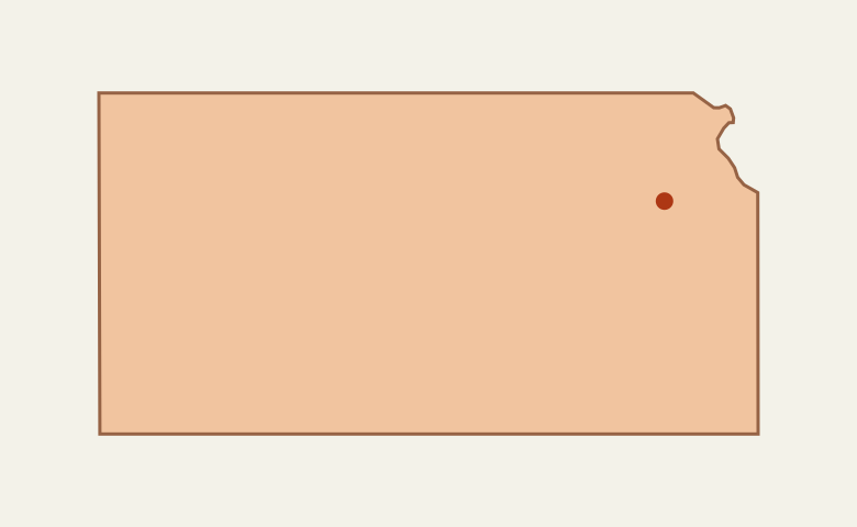 United StatesKansas
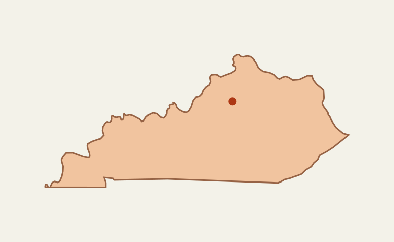 United StatesKentucky
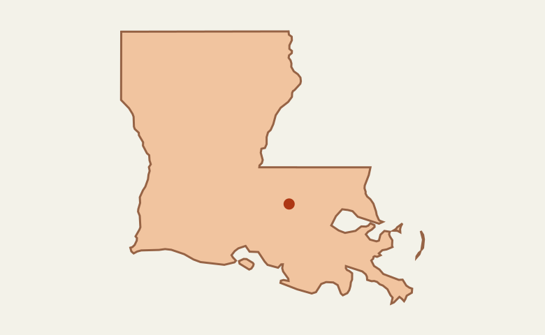 United StatesLouisiana
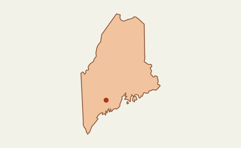 United StatesMaine
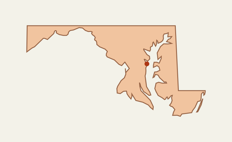 United StatesMaryland
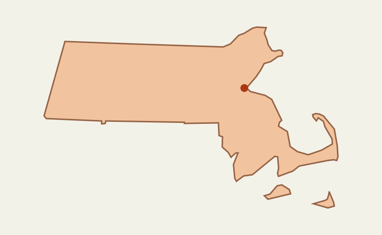 United StatesMassachusetts
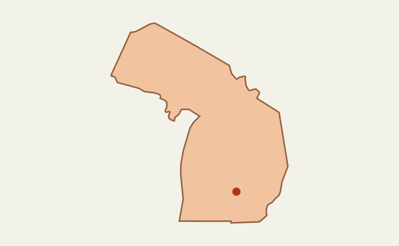 United StatesMichigan
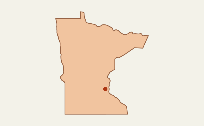 United StatesMinnesota
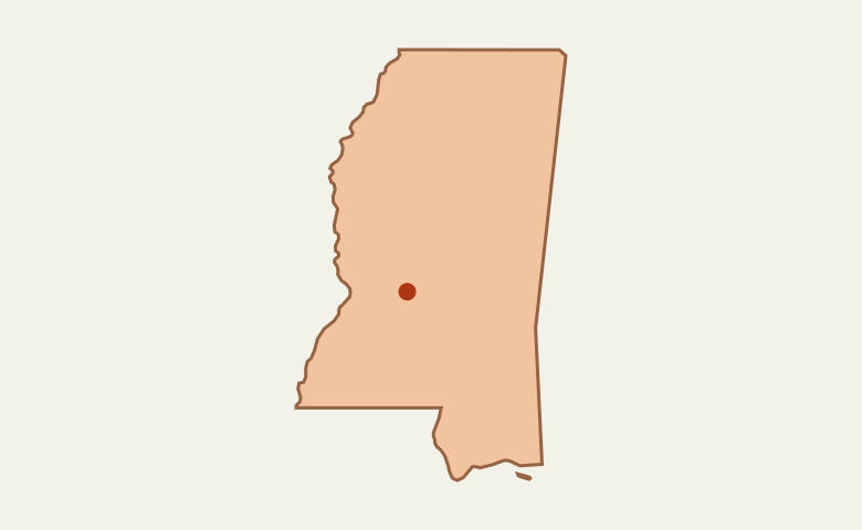 United StatesMississippi
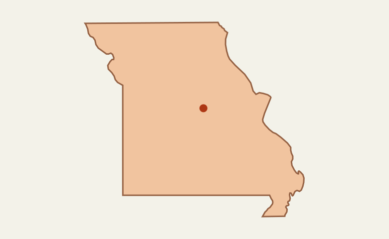 United StatesMissouri
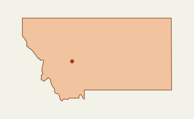 United StatesMontana
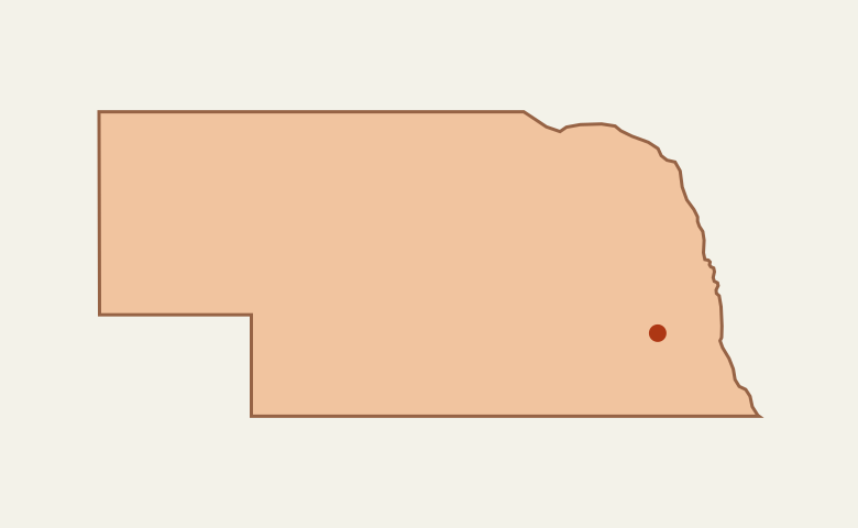 United StatesNebraska
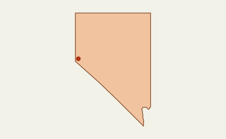 United StatesNevada
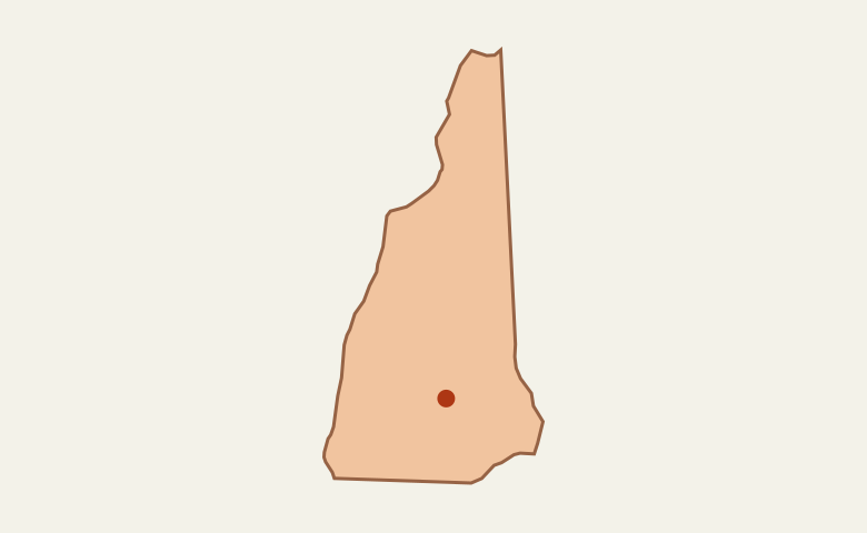 United StatesNew Hampshire
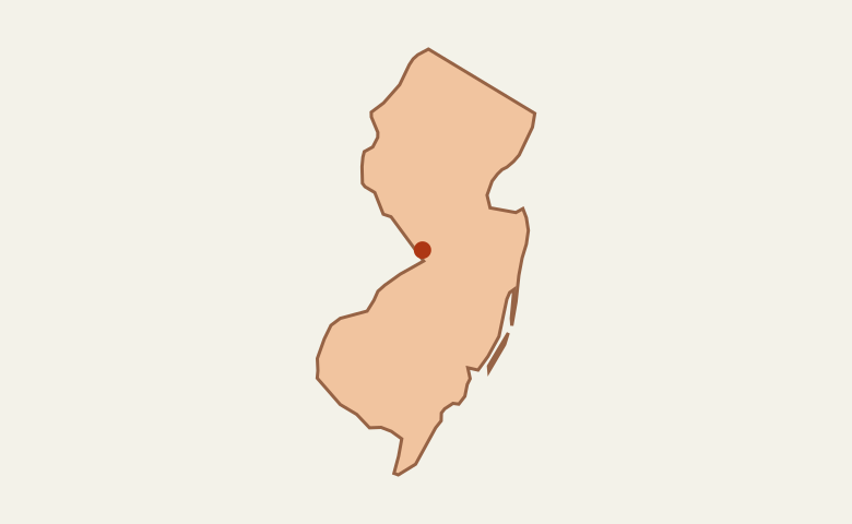 United StatesNew Jersey
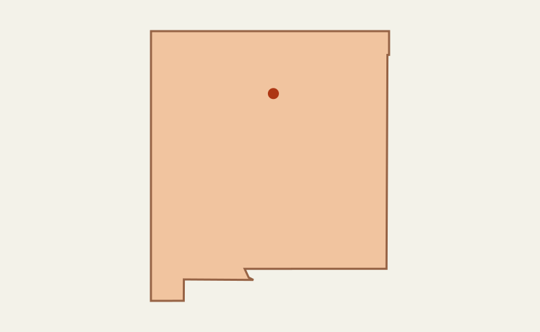 United StatesNew Mexico
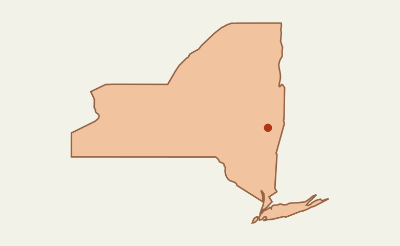 United StatesNew York
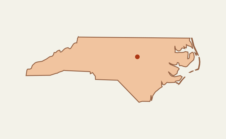 United StatesNorth Carolina
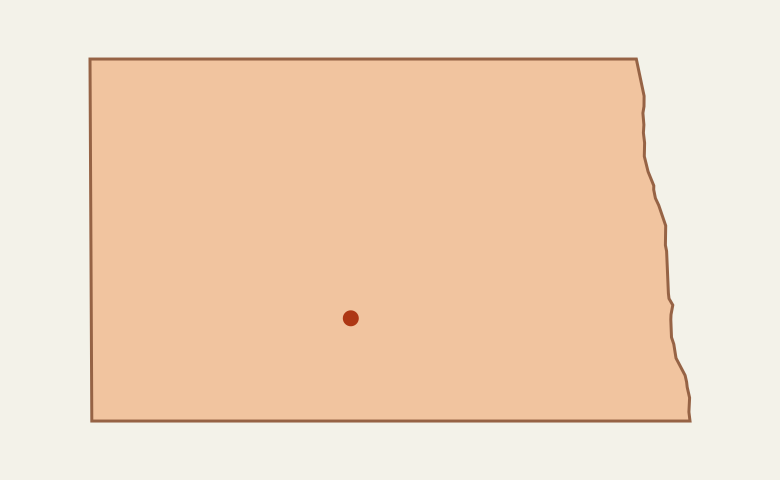 United StatesNorth Dakota
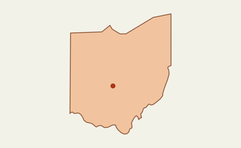 United StatesOhio
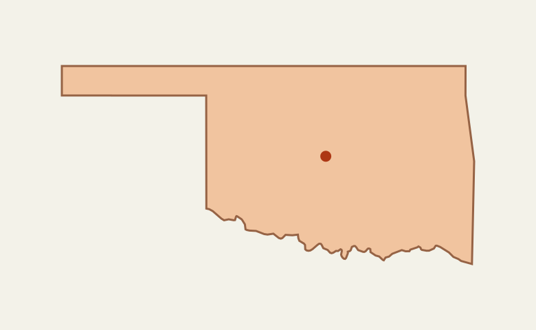 United StatesOklahoma
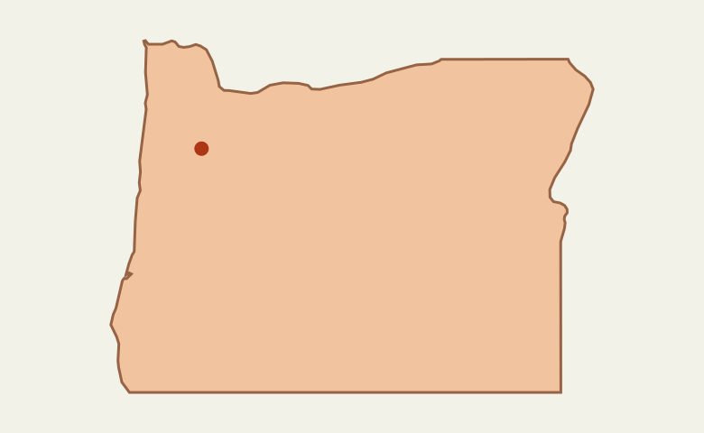 United StatesOregon
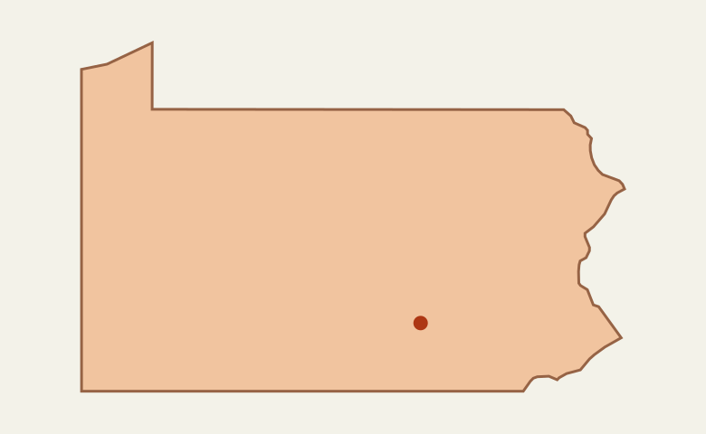 United StatesPennsylvania
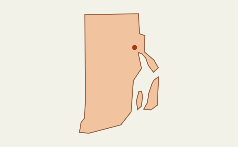 United StatesRhode Island
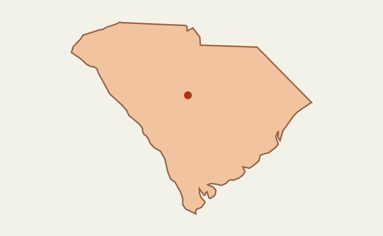 United StatesSouth Carolina
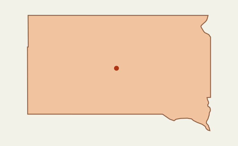 United StatesSouth Dakota
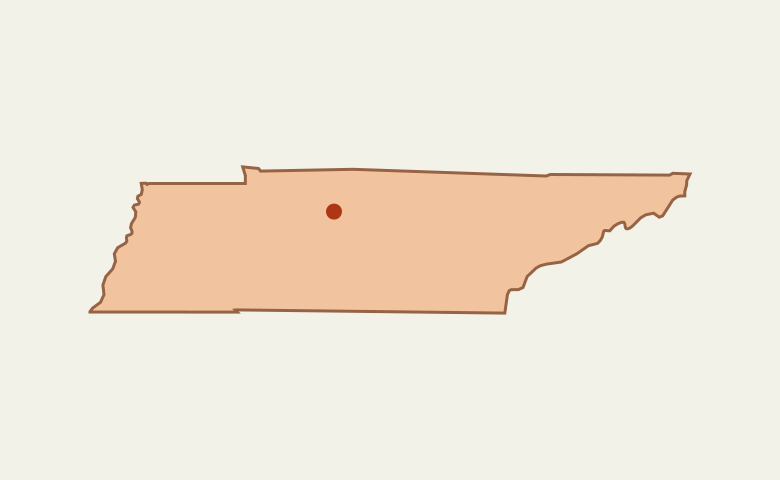 United StatesTennessee
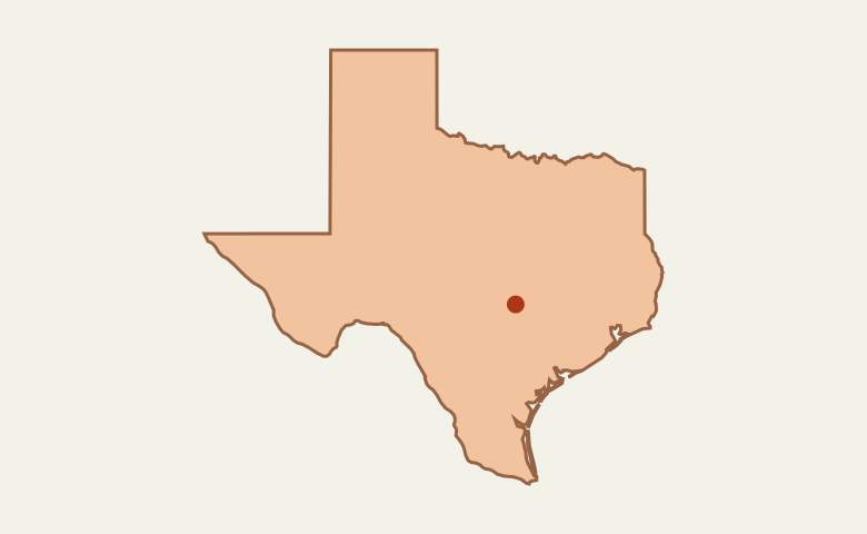 United StatesTexas
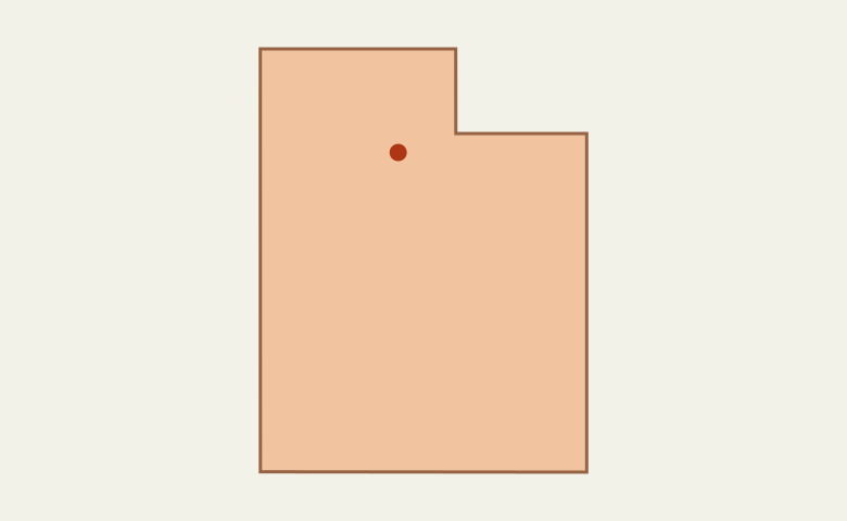 United StatesUtah
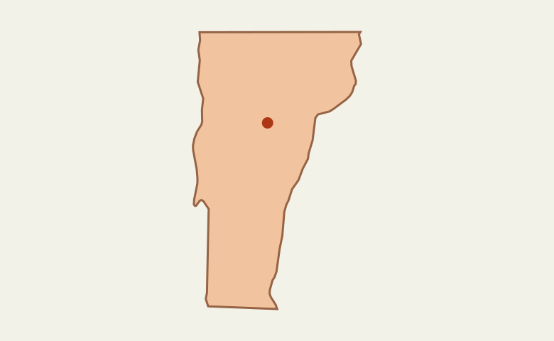 United StatesVermont
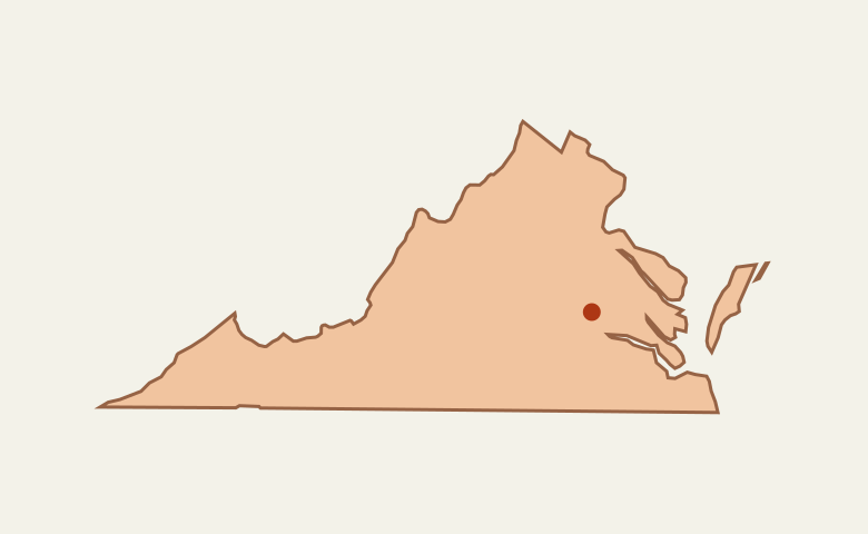 United StatesVirginia
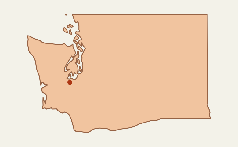 United StatesWashington
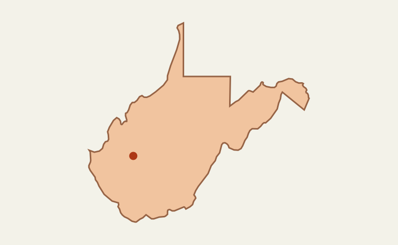 United StatesWest Virginia
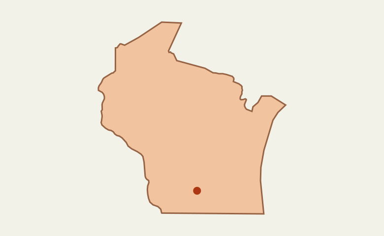 United StatesWisconsin
 United StatesWyoming
Europe
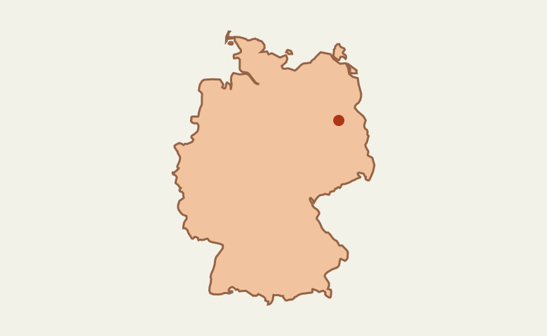
 Germany
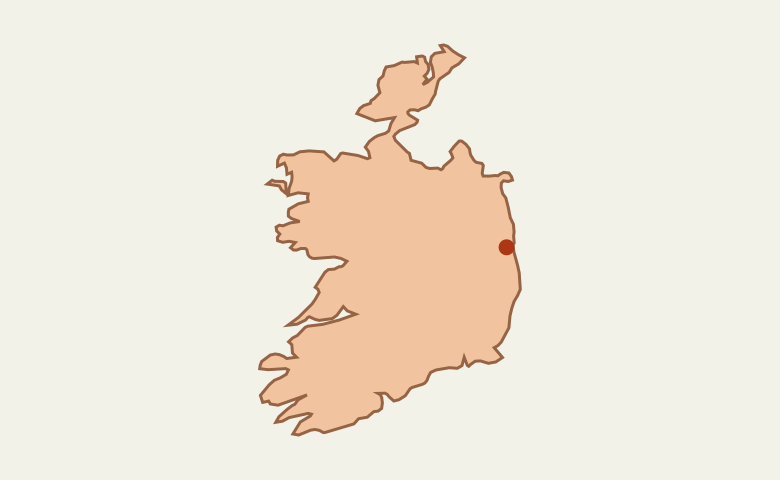
 Ireland
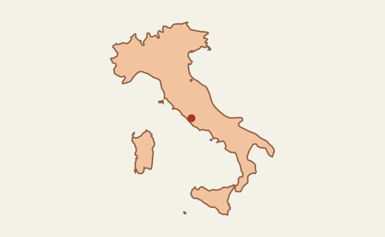
 Italy
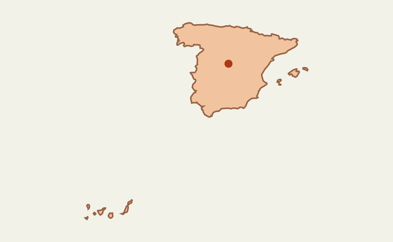
 Spain
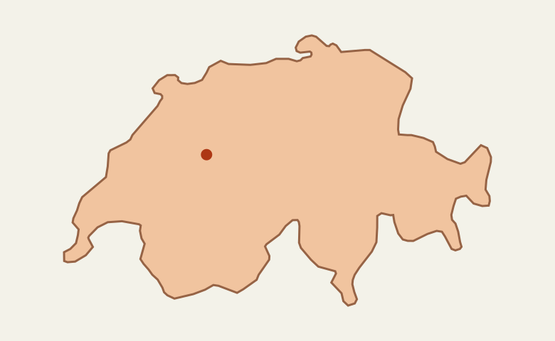
 Switzerland
Asia
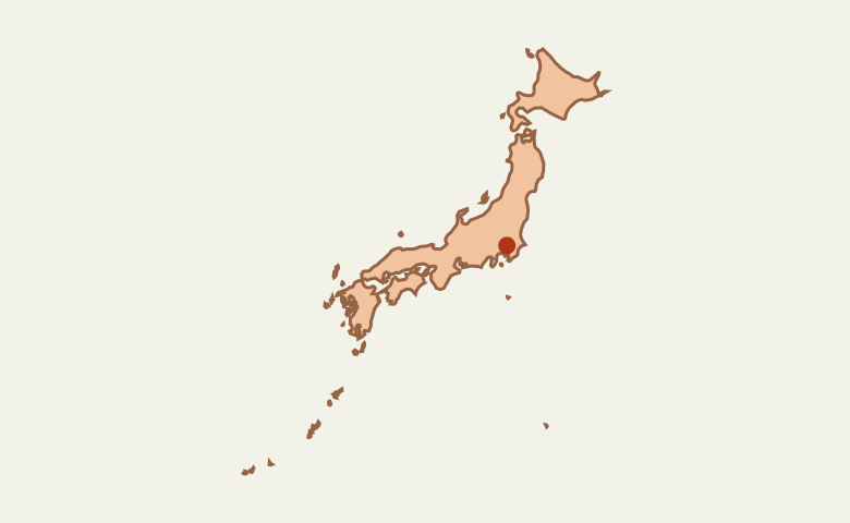
 Japan
Oceania
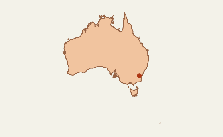
 Australia
Using the atlas
How can I print a regional map without city names?
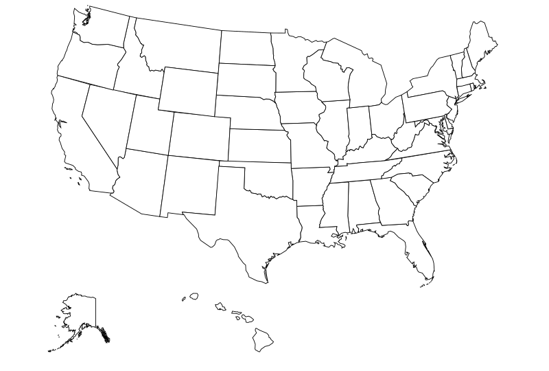
Open a regional map, turn off City labels under Map tools, then choose Print current view. The city dots and the capital marker remain. To make a worksheet of the whole country, open the blank US state map.
How can I share a map centered on one city?
Select a city from a regional map’s index or use Find a city. Copy the address after the map zooms in. For example, this map centered on Austin opens with the Texas capital selected.