United States / City maps
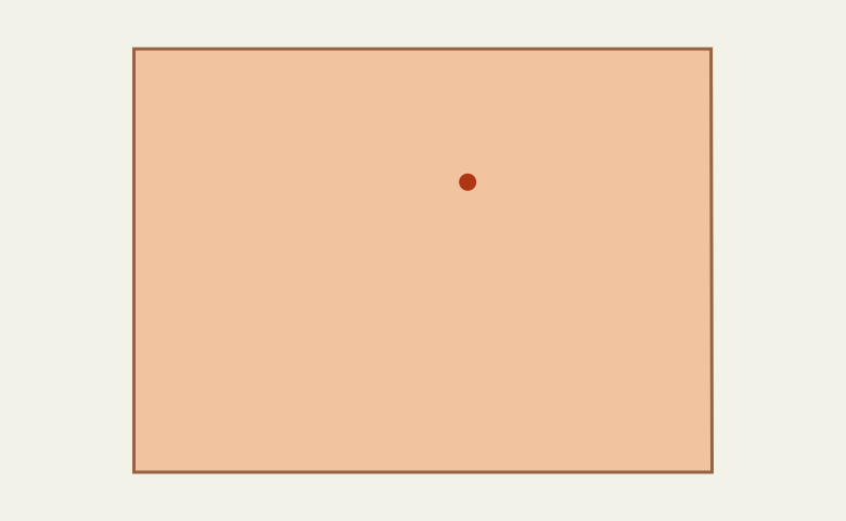
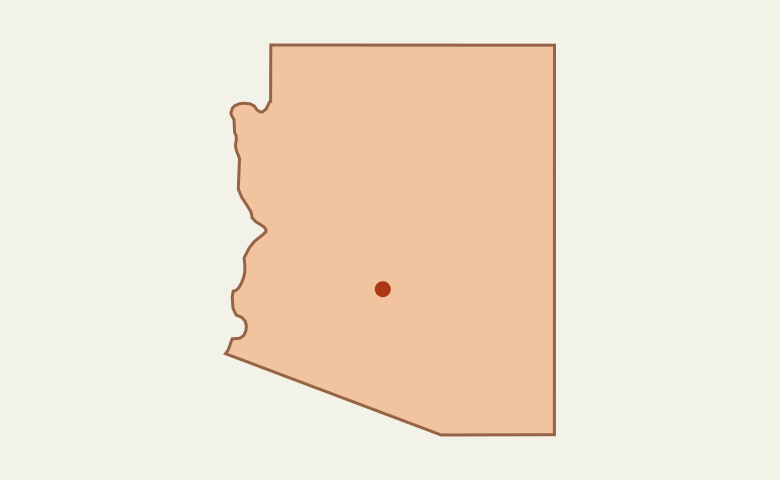
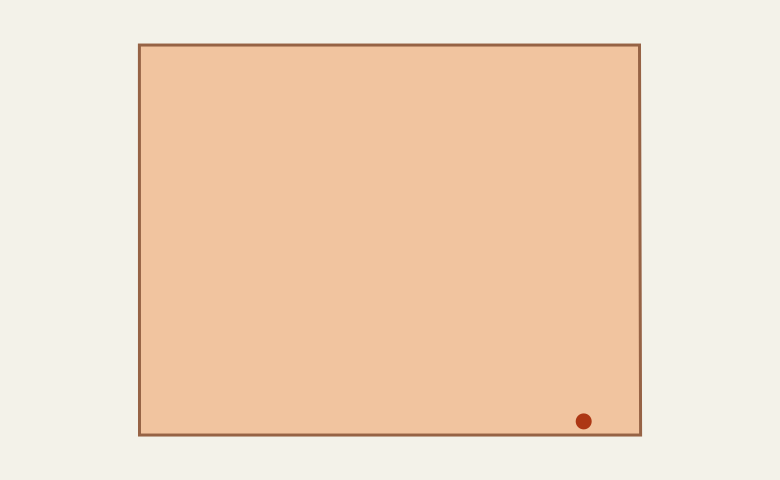
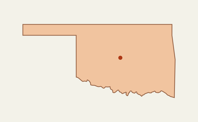
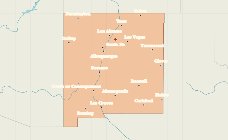
Map of New Mexico with cities
Explore New Mexico from Santa Fe and Albuquerque to Las Cruces, then locate Gallup near Arizona and Roswell on the eastern plains. City index (19) · Map questions
New MexicoCity map
● Capital● City
Reading the map
Rio Grande cities and the eastern plains
Locate Santa Fe northeast of Albuquerque, then trace the Rio Grande south through Albuquerque and Socorro toward Las Cruces. Gallup sits near the Arizona border. On the eastern side of the state, compare Roswell with Carlsbad farther south.
| City | Direction | Straight-line distance |
|---|---|---|
| Albuquerque | Southwest | 91 km / 56 mi |
| Las Cruces | South | 383 km / 238 mi |
| Roswell | Southeast | 286 km / 178 mi |
| Gallup | West | 254 km / 158 mi |
New Mexico map questions
Where is Santa Fe relative to Albuquerque and Taos?
Santa Fe lies northeast of Albuquerque. Taos is farther north, making Santa Fe the middle point in this north–south comparison.
How far apart are Albuquerque and Las Cruces?
Las Cruces is about 311 km (193 mi) south of Albuquerque in a straight line between their map markers. Road distances depend on the route.
Cities on this map (19)
- Alamogordo
- Albuquerque
- Carlsbad
- Clovis
- Deming
- Farmington
- Gallup
- Hobbs
- Las Cruces
- Las Vegas
- Los Alamos
- Raton
- Rio Rancho
- Roswell
- Santa Fe
- Socorro
- Taos
- Truth or Consequences
- Tucumcari