United States / City maps
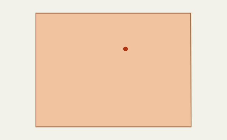
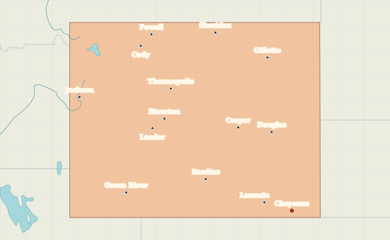
Map of Wyoming with cities
Locate Cheyenne and Laramie in southern Wyoming, Casper near the middle, and Jackson and Cody toward the mountainous west. City index (14) · Map questions
Reading the map
The high plains and the western valleys
Start at Cheyenne near the southeastern corner, then move west to Laramie. Casper is farther north on the North Platte River. Cody and Sheridan lie near opposite sides of the Bighorn Basin and Bighorn Mountains region, while Jackson sits near the Idaho border.
| City | Direction | Straight-line distance |
|---|---|---|
| Casper | Northwest | 227 km / 141 mi |
| Laramie | West | 67 km / 42 mi |
| Cody | Northwest | 511 km / 317 mi |
| Sheridan | North | 442 km / 275 mi |
Wyoming map questions
Where is Jackson compared with Cheyenne?
Jackson is in western Wyoming near Idaho. Cheyenne is in the southeastern corner near Colorado. Casper lies between them in longitude, in the central part of the state.
How far apart are Casper and Laramie?
Laramie is about 181 km (113 mi) south of Casper in a straight line between their map markers. Road distances depend on the route.
Cities on this map (14)
- Casper
- Cheyenne
- Cody
- Douglas
- Gillette
- Green River
- Jackson
- Lander
- Laramie
- Powell
- Rawlins
- Riverton
- Sheridan
- Thermopolis