United States / City maps
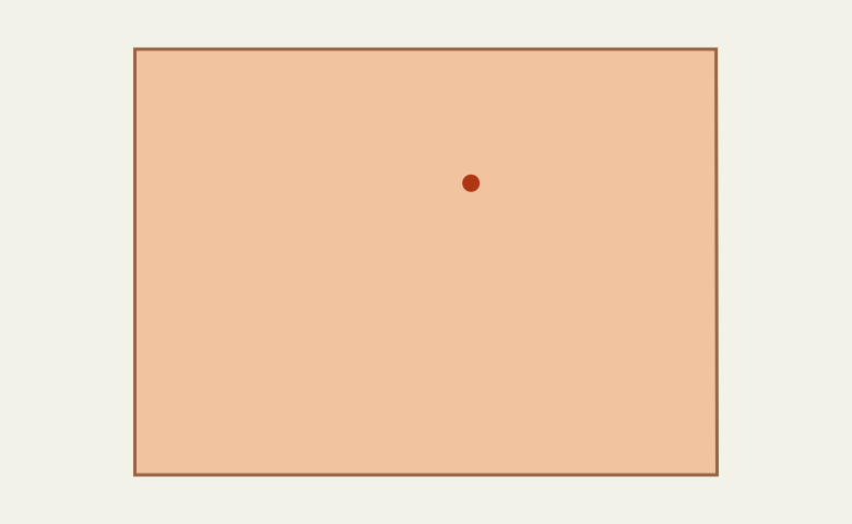
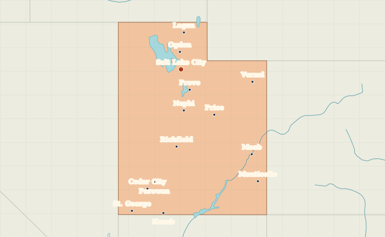
Map of Utah with cities
Find Salt Lake City, Ogden and Provo along Utah’s Wasatch Front. Locate Moab, Vernal and St. George beyond the main urban corridor. City index (14) · Map questions
UtahCity map
● Capital● City
Reading the map
The Wasatch Front and southern Utah
Ogden, Salt Lake City and Provo form a north-to-south line along the Wasatch Front. Compare that group with St. George in the far southwest and Moab in the southeast. Vernal sits well to the east of the main northern cluster.
| City | Direction | Straight-line distance |
|---|---|---|
| Ogden | North | 51 km / 31 mi |
| Provo | Southeast | 64 km / 40 mi |
| St. George | South | 433 km / 269 mi |
| Moab | Southeast | 319 km / 198 mi |
Utah map questions
Which Utah cities form the Wasatch Front corridor?
Ogden, Salt Lake City and Provo form a north-to-south line in northern Utah. Moab, on the eastern side of the state, belongs to a different part of the map.
How far apart are Ogden and Provo?
Provo is about 113 km (70 mi) south of Ogden in a straight line between their map markers. Road distances depend on the route.
Cities on this map (14)
- Cedar City
- Kanab
- Logan
- Moab
- Monticello
- Nephi
- Ogden
- Parowan
- Price
- Provo
- Richfield
- Salt Lake City
- St. George
- Vernal